Description
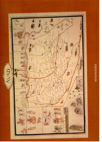
Maps of Mughal India: Drawn by Colonel Jean-Baptiste-Joseph Gentil, Agent for the French Government to the Court of Shuja-ud-daula at Faizabad in 1770, edited by Susan Gole and published by Manohar Publications, is a definitive cartographic reproduction of 21 full-colour provincial maps (subahs) commissioned by French military officer Colonel Gentil during his service in Awadh. Uniquely constructed using indigenous literary data rather than European surveys, Gentil meticulously mapped the geographic segments of Abul-Fazl’s 16th-century text, the Ain-i-Akbari, while preserving historical place-names that have since vanished from modern geography. Beyond its unprecedented cartographic accuracy, the atlas serves as a vibrant visual ethnography; Gentil employed three local Indian court artists to frame the maps with exquisite miniature paintings depicting 18th-century local occupations, weaponry, cultural lore, and geopolitical conflicts—such as Afghan and Sikh cavalrymen fighting in the Lahore Subah